-
About Upazila
Introduce to Upazila
History & Tradition
Geography & Economics
-
Upazila Parishad
Upazila Porishod
উপজেলা পরিষদের কার্যাবলি
-
Upazila Administration
Upazilla Nirbahi Officer
About Organogram
Schedule & Meeting
Service & Others
Upazila administration employees
- Municipality
-
Government Office
Law and order and Security Related
Health Related
Agriculture and Food Related
Engineering and Communication Related
Human Resource Development Related
Education Related
-
Different Institutions
Educational Institutions
- E-Service
- Gallery
-
About Upazila
Introduce to Upazila
History & Tradition
Geography & Economics
-
Upazila Parishad
Upazila Porishod
উপজেলা পরিষদের কার্যাবলি
-
Upazila Administration
Upazilla Nirbahi Officer
About Organogram
Schedule & Meeting
Service & Others
Upazila administration employees
- Municipality
-
Government Office
Law and order and Security Related
Health Related
Agriculture and Food Related
Engineering and Communication Related
Human Resource Development Related
Education Related
-
Different Institutions
Educational Institutions
- E-Service
-
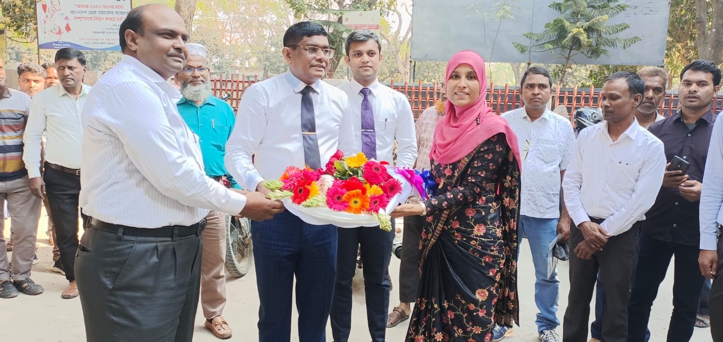
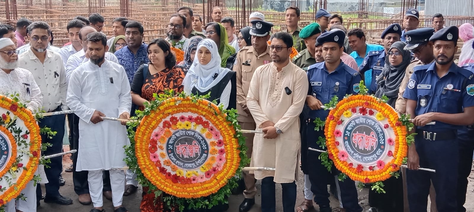
Gallery
Photo Gallery
Video Gallery
Gomstapur upazila of Chapainawabganj district was established on 15 July 1917 with 08 unions. After the publication of the gazette notification on 21st September of that year, the activities of Gomstapur Thana were officially started from 1st January, 1918.
Gomstapur upazila has an area of 328.13 sq km and a population of 2,40,123. It is located at 240.44 and 240.56 latitudes in the Northern Hemisphere and 880.13 and 880.58 longitudes in the Eastern Hemisphere. It is bounded on the north by Porsha upazila of Naogaon district and India, on the east by Niamatpur upazila of Naogaon district, on the south by Nachol and Shibganj upazilas and on the west by Bholahat and Shibganj upazilas and India.


Planning and Implementation: Cabinet Division, A2I, BCC, DoICT and BASIS
Technical Assistance:
![]()
Developed By: